The Ireland Way
  • DISCOVER
  • TRAIL
  • SHOP
  • NEWS
  • FAQ

1) Beara Way

Towns & Distances:
Castletownbere - Adrigole - 22km
Adrigole - Glengarriff - 17.1km
Glengarriff - Kealkill (optional) - 18.4km
​
Hiking Trail ​Total Distance: 57.5km / 35.7 miles
County: Cork
Days: 3
The Beara Way is a looped walk around the Beara Peninsula. The Ireland Way takes you along the southern part of the trail. Begin your journey at the small fishing village of Castletownbere where there is plenty of accommodation, shops and restaurants to try the delicious seafood fished locally!

Walk the stunning Beara Way through the Caha Mountains, around Hungry Hill and by Lough Toberavanaha, whilst taking in the views of Bantry Bay.

Kealkill is optional as there is accommodation there, or you can stay on the trail and bypass it. Next accommodation will be Gougane Barra Hotel.

Maps

Map 1 - Castletownbere
Map 2 - Adrigole
Map 3 - Glengarriff
Glengarriff to Kealkill not yet available
OSI Discovery Series Sheet 84 & 85

Route Specifications

Grade: Difficult
Start altitude: 8 metres
End altitude: 24 metres
Maximum altitude: 538 metres
Minimum altitude: 6 metres
Distance: 56 km
Total ascent: 1990 metres
Total descent: 1974 metres

Trail Highlights

Wedge tomb
Views from Caha Mountains
Park Lough
Lough Toberavanaha
​Glengarriff Forest Park
​Lady Bantry's Viewpoint

Caroline Allen Francesco Richichi on the Irleand Way Hiking Trail
View over Bantry Bay

Hiker's Experience of Stage 1 - Beara Way
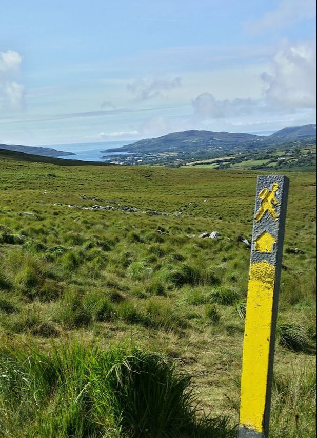
The Hiking Rev - Stage 1 - Beara Way
Linda Murphy - Castletownbere to Adrigole
Linda Murphy - Glengarriff, Kealkill, Gougane Barra
Linda Murphy - Adrigole to Glengarriff

Social

Picture
Facebook
Picture
Instagram
Picture
Twitter
Picture
Tripadvisor
Picture
Pinterest

About

About Us
Contact Us
Legal Terms
Picture
Picture
Picture
Picture
Ireland Way © 2024. Ireland Way is a Registered Trademark.
  • DISCOVER
  • TRAIL
  • SHOP
  • NEWS
  • FAQ