DISCOVER
TRAIL
SHOP
NEWS
FAQ
10) Miner's Way
Towns & Distances:
Ballinafad - Castlebaldwin - 10.7km
Castlebaldwin - Highwood - 10.8km
Highwood - Ballyfarnon - 6.7km
Ballyfarnon - Keadue - 4.9km
Keadue - Knockvicar - 11.2km
Knockvicar - Leitrim - 10.1km
County:
Sligo, Roscommon, Leitrim
Total Distance
:
54.4 km / 33.8 miles
Days:
2
Maps
Map 1 - Ballinafad to Castlebaldwin
Map 2 - Castlebaldwin to Ballyfarnon
Map 3 - Ballyfarnon to Knockvicar
No map Knockvicar to Leitrim
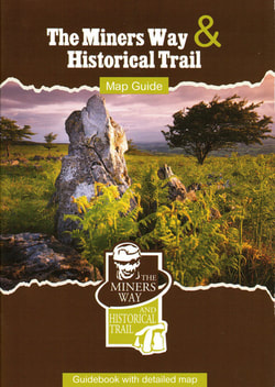
A map Guide for the full Miner's Way & Historical Trail is available to buy at
www.unabhan.ie
Route Specifications
Grade: Moderate
Start altitude:
End altitude:
Maximum altitude:
Minimum altitude:
Distance:
Total ascent:
Total descent:
Corinne's Blog - Stage 10 - Miner's Way
Ballinafad to Castlebaldwin (a)
Ballinafad to Castlebaldwin (b)
Castlebaldwin to Ballyfarnon
Ballyfarnon to Kilronan Castle
Kilronan Castle to Leitrim Village (a)
Kilronan Castle to Leitrim Village (b)
Kilronan Castle to Leitrim Village (c)
DISCOVER
TRAIL
SHOP
NEWS
FAQ